 NEARBY TOWN/CITY: Turangi
DISTANCE FROM TOWN CENTRE: 30 minutes; 45 kms.
EXACT LOCATION: The run starts and finishes a few hundred metres up the road past the Chateau on the right hand side – clearly signposted Whakapapaiti Walk & Track.
TOTAL ROUTE DISTANCE: 18.5 kms
TIME TO RUN: Elite 1hr 45 mins; Novice 3 hrs
TOTAL ASCENT: 560 metres TOTAL DESCENT: 560 metres
TYPE OF TRAIL RUN: Loop
DIFFICULTY: Moderate
DEFINING CHARACTERISTICS: A mix of trail conditions from smooth & well made to rough & rocky. All trail is single-track. Includes a couple of stream crossings and about 3 kms of road (all downhill)
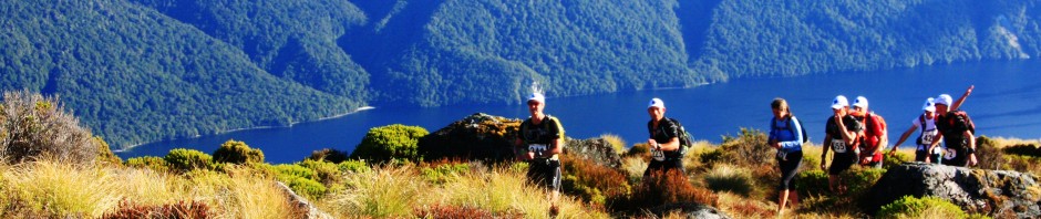
FEATURES OF INTEREST: Stunning views of Ruapehu, Ngauruhoe and the surrounding area. Mt. Taranaki is visible on a clear day. Silica Rapids are worth stopping for a close look at too.
ONLINE REFERENCE: See the run in detail via Running Wild’s Garmin Connect page.
BEST MAP/S: NZ Topo map BJ34 Mt. Ruapehu
RUN IT: From the trailhead follow the track over a wooden bridge and beyond through beech forest. Ignore the right turn for the Whakapapanui Track (within a km of the start) and continue on the undulating single track. A bit further on you’ll come to a junction with the Silica Rapids Track – keep right on the Whakapapaiti Track.
After 5 kms you will cross another bridge and break out of the beech forest into more open tussock country. Follow boardwalk and trail up the Whakapapaiti Valley, enjoying the spectacular views of Mt. Ruapehu straight ahead.
After another 2.2 kms you will need to cross the unbridged Whakapapaiti River. It’s full of big boulders and with a bit of rock hopping can be crossed with dry feet in normal flows. Head for a set of steps up a bank on the far side and pick up the marked trail that continues to head further up the valley. Just before reaching the beautifully located Whakapapaiti Hut you’ll need to cross the river again another couple of times. The hut is just over 8kms into the run and has a big deck that offers great views of Ruapehu.
Follow the poled track uphill from the hut, keeping the river on your right. The trail gradually climbs away from the river, and then starts to steepen before reaching a junction at about the 9 km mark. Here you turn left, signosted ‘Bruce Road 1 hr’. A fairly faint trail, marked with snow poles, now zig zags its way up a steep, scoria and boulder covered hillside that crests out on a spectacular ridge, giving you your first views of Ngauruhoe.
Follow the snow poled trail downhill and over Scoria Flat to reach the Bruce Road. Turn left and run down the main road for a little under 3 kms. The Silica Rapids Walk is a well-made gravel trail branching off to your left. Follow this uphill for a while before descending on trail and boardwalk to Silica Rapids. It’s a worthwhile short detour to take a good look at these, otherwise take a right turn and head down the valley.
After a short while the trail heads back into stunted beech forest and offers a glorious couple of kms of single-track trail running, with the rush of mountain water just off to your right way the whole way down. The Silica Rapid Track emerges at the junction you ran through earlier in the day. Turn right and retrace your steps back to the start.
POST RUN GOODNESS: The Pihanga Café that is attached to the Chateau does good coffee and toasted paninis or for a really good feed in front of a lovely roaring fire head down the hill to National Park and check out the Spiral Bar at The Park Travellers Lodge.
View this guide as a printable PDF file


